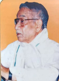
The name of the Institute is given after renowned Himalayan Geographer Dr. Nitya Nand. He was head of Geography Department in D.B.S. (PG) College Dehra Dun from 1965 to 1985. His contribution in the field of Geography is remarkable. He wrote a book “The Holy Himalaya: A Geographical Interpretation of Garhwal Himalaya” in 1989 which is a land mark contribution. This book carries his original contribution on the various aspects of the Garhwal Himalaya. Dr. Nitya Nand carried out his field work in Uttarakhand during 1965 to 85 when means of transport were inadequate. He raised the natural and social problems of the Garhwal Himalaya. He published research paper in International and National Journals. He was not only an academician but social worker also. He had been a serious teacher, genuine researcher and committed social worker. He inspired hundreds of students and persons in the field of geography and social work who are carrying forward his mission in nation building. After his retirement from the academic service he established a SEWA ASHRAM at Maneri (Uttarkashi) for the victims of 1991 Uttarkashi earthquakes. He started there “Uttaranchal Daiviy Aapada Peedit Sahayata Samiti”. His whole concern was on the Himalayan people and this is why the Himalayan Geographical Research and Study Center has been established after his name in the Doon University, Dehra Dun.
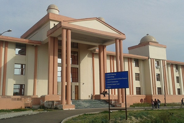
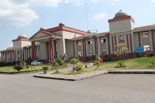
It is matter of great pleasure that the Doon University has established Dr. Nitya Nand Himalayan Geographical research and Study Center with the help of financial and administrative support of Uttarakhand State Government. It is presently functioning as a state level geographical research center for scholars and master degree in geography, geology and diploma in remote sensing and GIS in which 20 seats in each subjects.
The center aims to establish professional and applied research compatibility in Geography, Geology, GIS, Computer Cartography, Digital Mapping, Disaster Management, and Surveying for various sections of society in the Himalayan region, with special reference to the state of Uttarakhand.